Master of Geomatics for Environmental Management Networking Event 2019 Recap
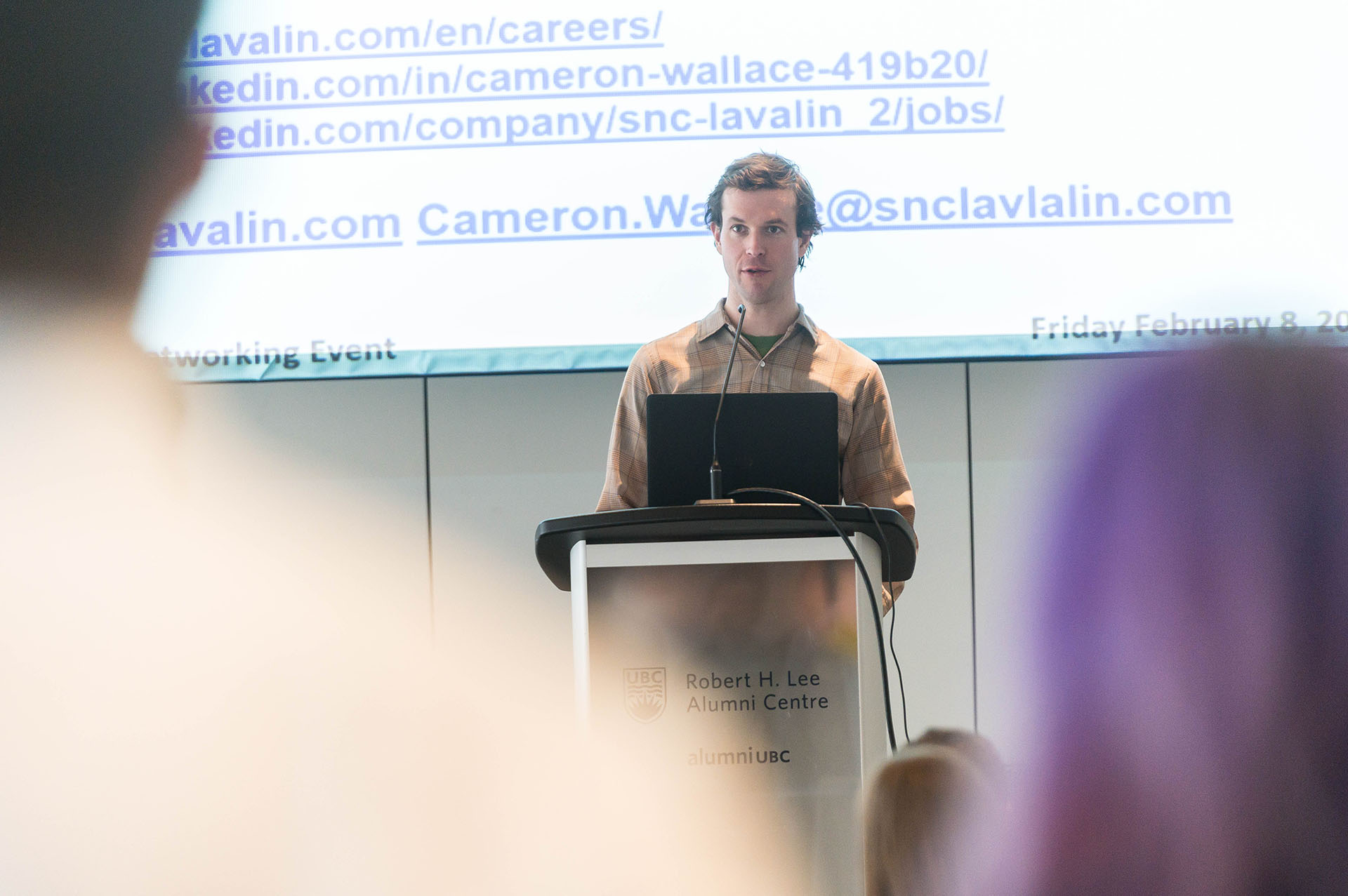
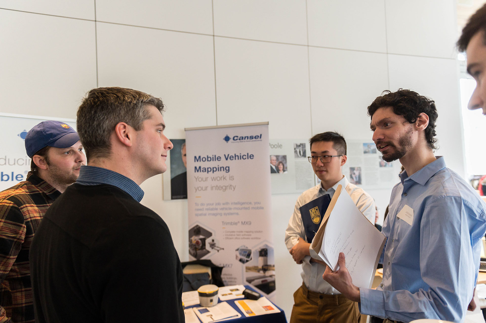
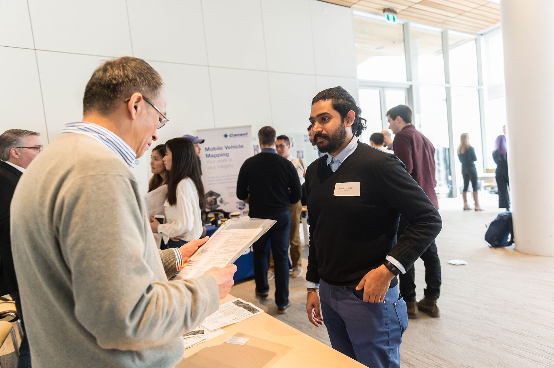
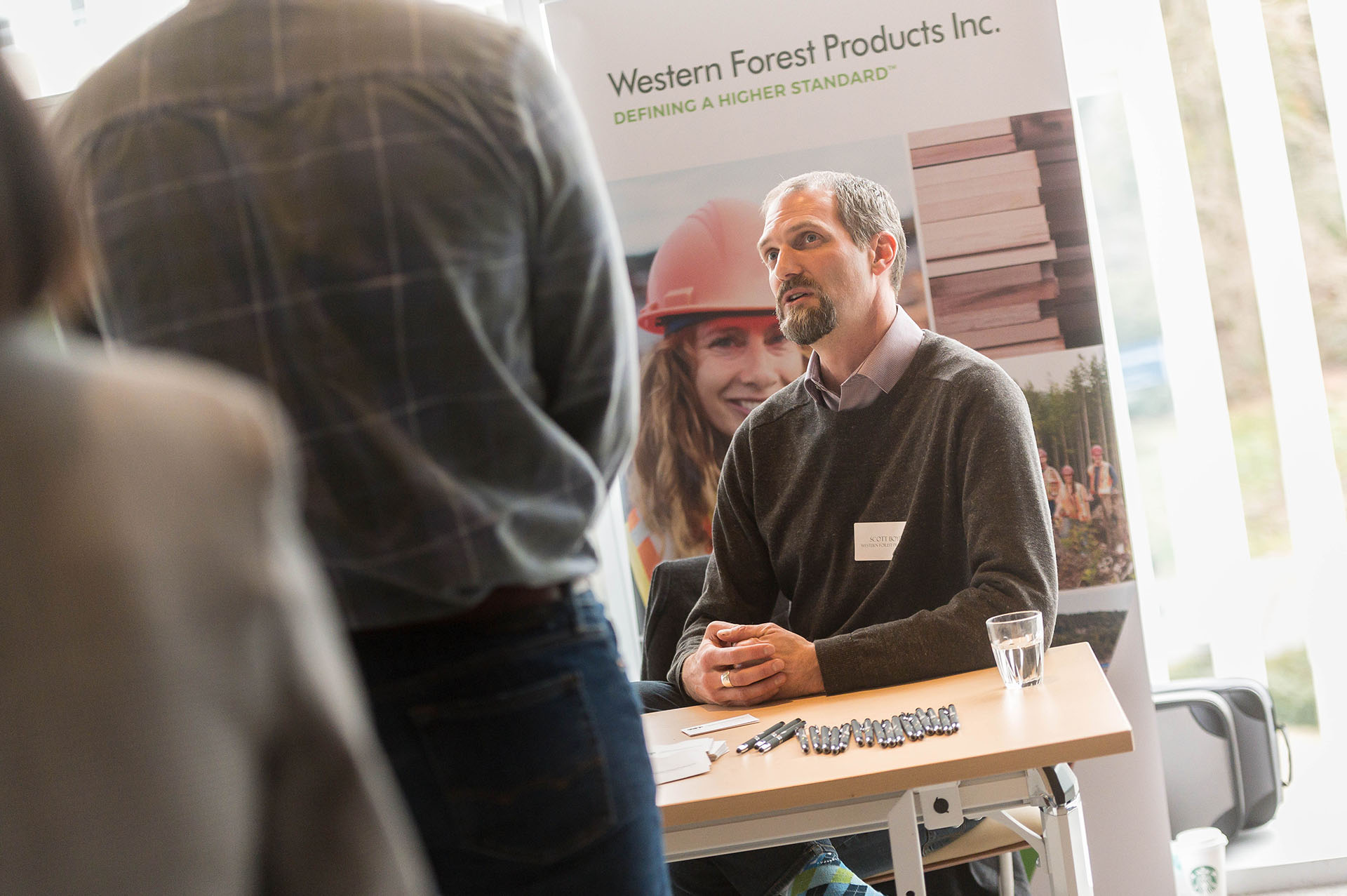
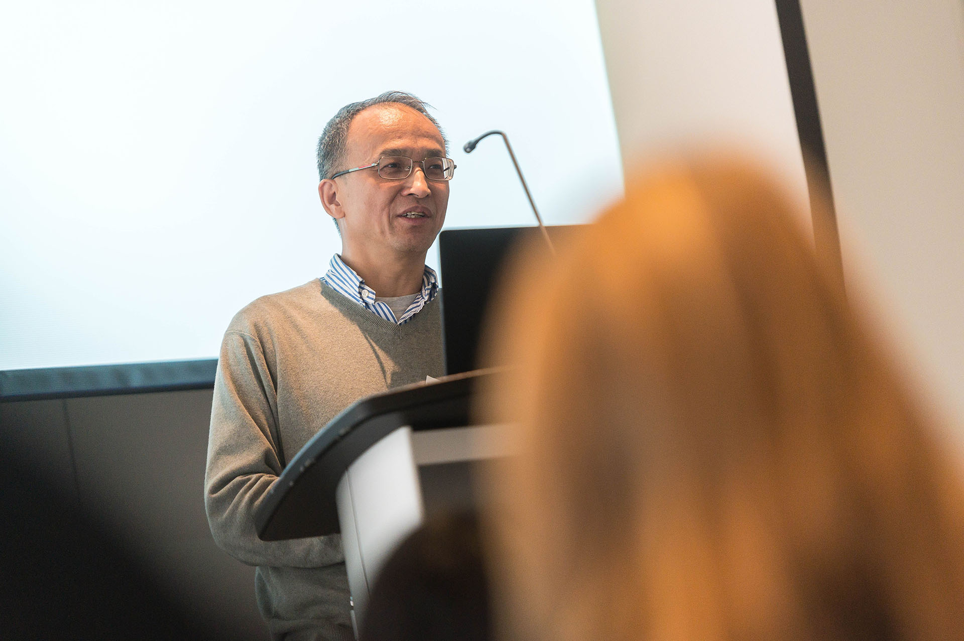
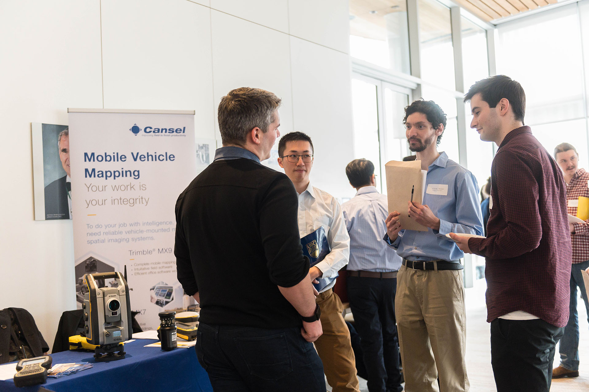
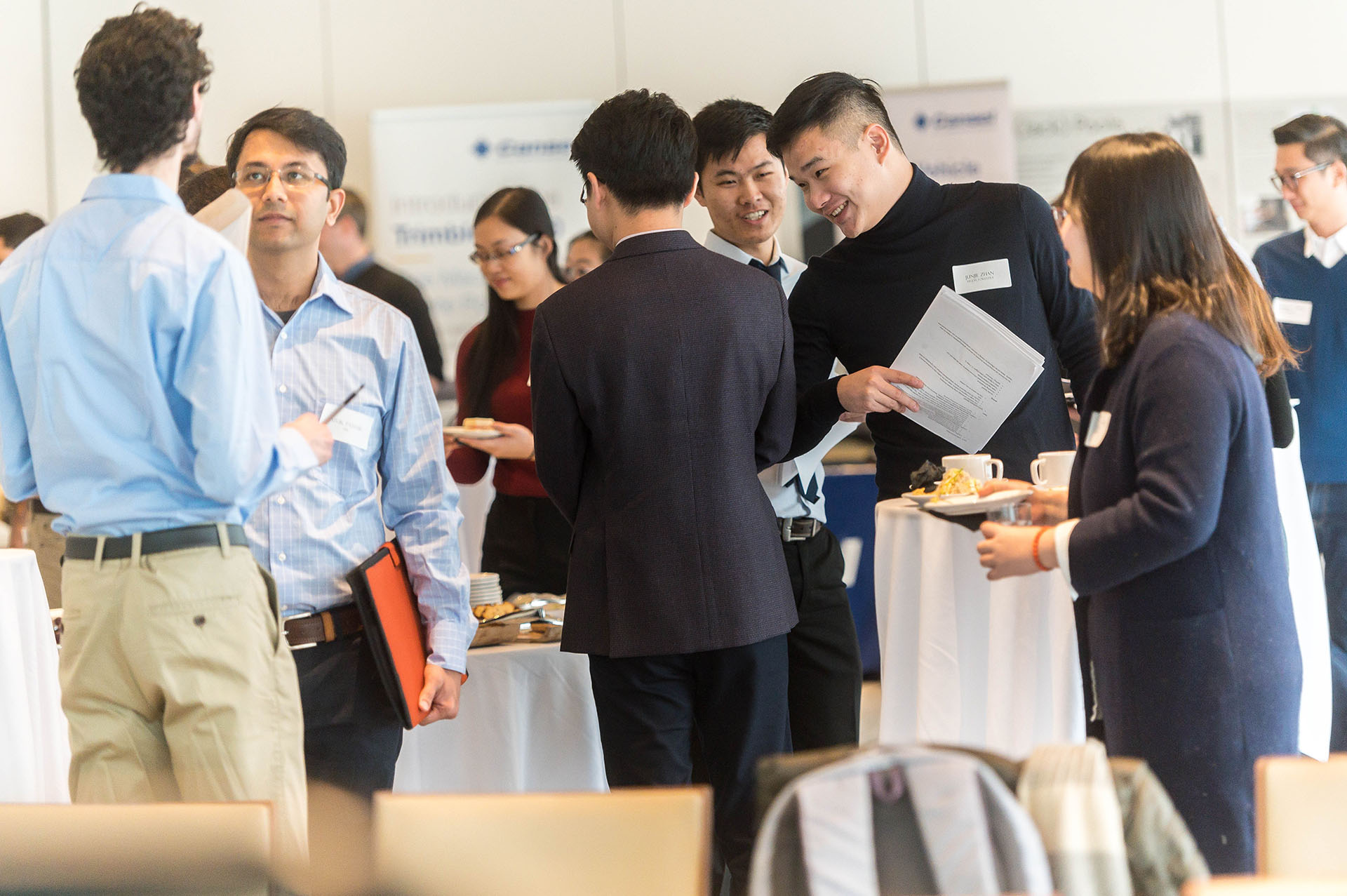
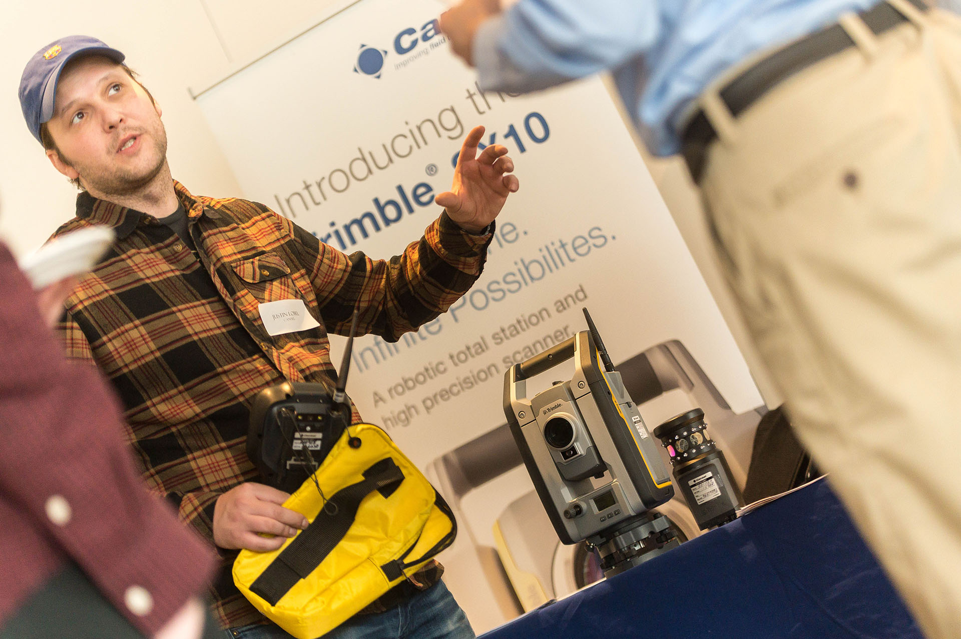
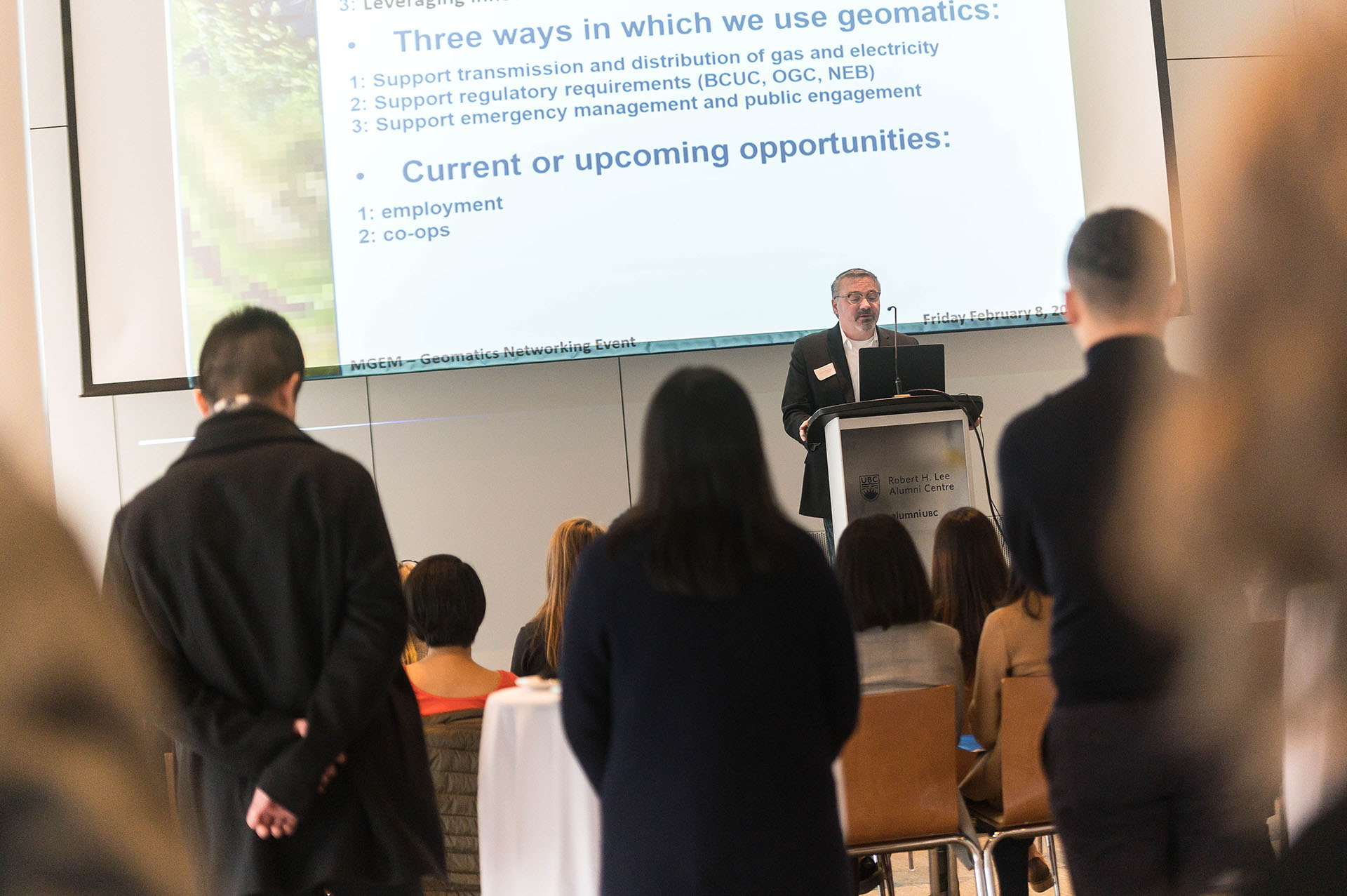
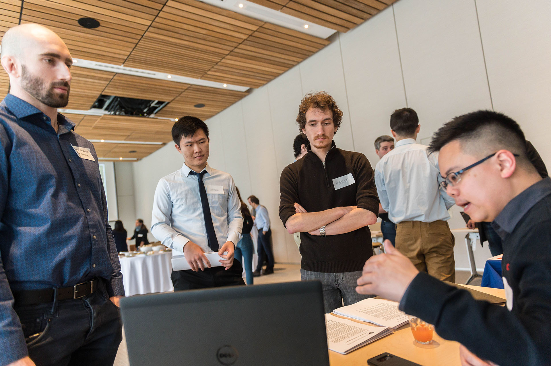
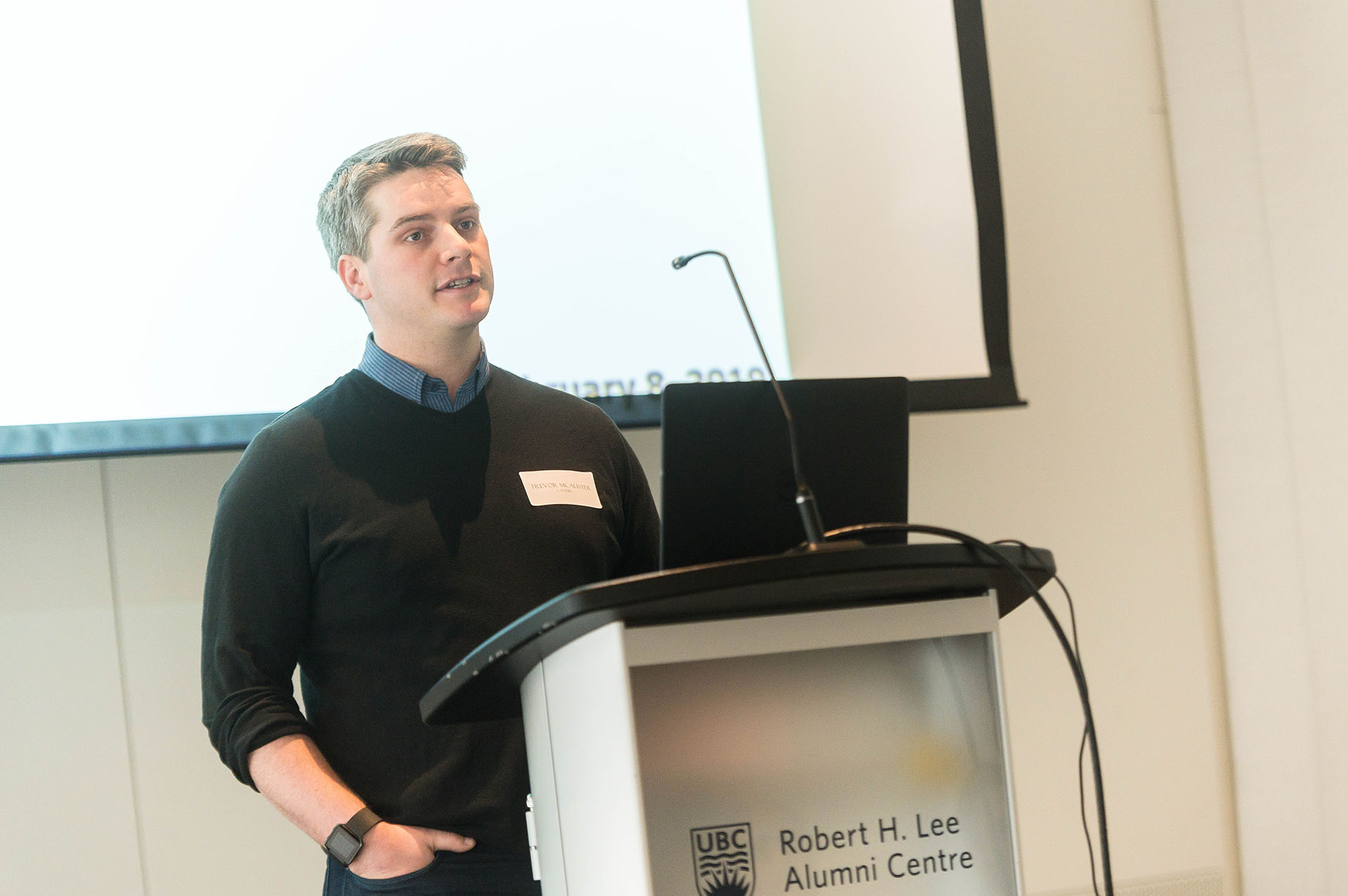
On February 9, 2019, the Master of Geomatics for Environmental Management (MGEM) program held its second annual Geomatics Networking Event – an opportunity for organizations which use geomatics to meet soon-to-be Masters-level graduates from across UBC’s campus. In attendance were representatives from 9 organizations, including FYBR Solutions, ESRI Canada, Western Forest Products, SNC Lavalin, First Resource Management Group, Cansel, FortisBC, City of Vancouver, and Ecora Engineering & Resource Group. 27 MGEM students were joined by their peers from other programs in Forestry; Land & Food Systems; Earth, Ocean & Atmospheric Sciences; Institute for Resources, Environment & Sustainability; and Bioinformatics. Each organization provided a brief overview, including how they use geomatics and current or upcoming employment, internship or volunteering opportunities. Following the overviews, each organization had a table and plenty of time to interact with students.
Geomatics – the science and art of measuring, storing, managing, analyzing and presenting geospatial data – continues to be a growing and diversifying field. As reflected in the variety of attending organizations, geomatics is increasingly important to a number of professions across many sectors. The MGEM program provides the blend of quantitative geospatial skills, landscape ecology context, and professional development required to tackle a wide range of pressing environmental management challenges. The knowledge and experience gained through the program do not have any one career in mind and our graduates have gone on to work in many sectors, including government, NGOs, private, commercial, consulting and academia. Last year the event led to direct employment for several of our students demonstrating that MGEM students and their skills are in demand.